

About Volunteering
Want to learn more about how to use LiDAR and seeing what hidden features and previously unknown archaeology can be discovered in the landscape? This Portal is designed as a means to not only view the LiDAR data, but to be a tool for mapping and interpreting it.
In order to use this Portal, you must register for an account. Once you are logged-in, you can view the data by going to the Portal tab.
What is LiDAR?
Light Detection and Ranging (LiDAR) is a method of collecting geographical point data by flying over the landscape and using laser to measure height and distance. The resulting 3-dimensional map is a precise representation of the shape of the landscape and its surface characteristics.
Learn to use LiDAR data
By exploring the 3D Lidar mapping, you can identify man-made structures, see the full breadth of vegetation cover, and understand the shape of the landscape as a whole. You can digitally remove surface data to reveal long-forgotten heritage sites, such as mines or dwellings, so that archaeologists can focus their ground exploration.
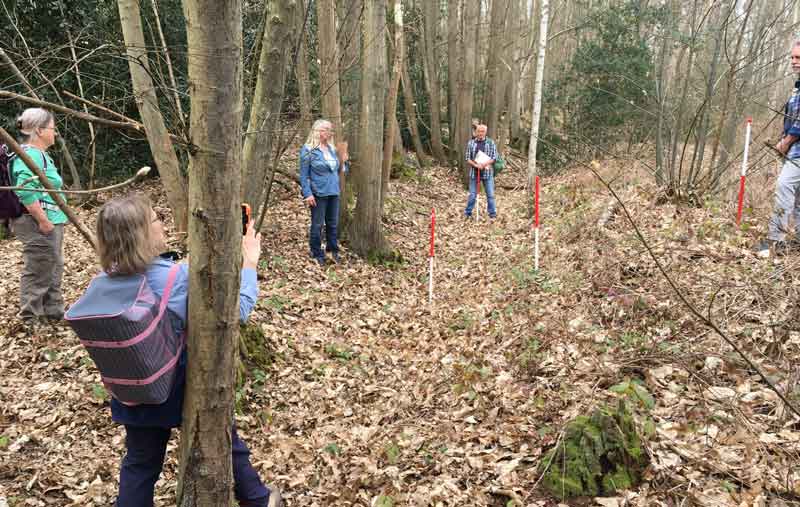
Get involved
Become a ‘citizen scientist’ and help to discover, understand, and preserve the natural and cultural heritage of the Kent landscape, by exploring the Lidar mapping and identifying new and exciting historical sites.