

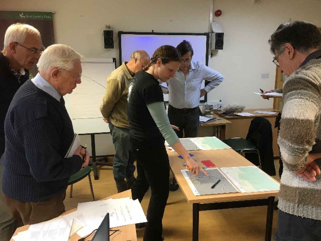
Training
Want to learn more about how to use LiDAR and seeing what hidden features and previously unknown archaeology can be discovered in the landscape? This Portal is designed as a means to not only view the LiDAR data, but to be a tool for mapping and interpreting it.
In order to use this Portal, you must register for an account. Once you are logged-in, you can view the data by going to the Portal tab.
There are several tutorial guides to help in understanding how to use the Portal, how LiDAR data is collected and processed into various visualisations, and how to best read and interpret the images. These guides, including a Gazetteer of Monument Types, How to Read LiDAR and Guide for Desk-Based Study, are available under Resources. You must be registered and logged-in to view the tutorials.
We also run occasional training sessions, both online and in-person, for volunteers and interested groups. Email us with potential requests for training or to be added to our mailing list.
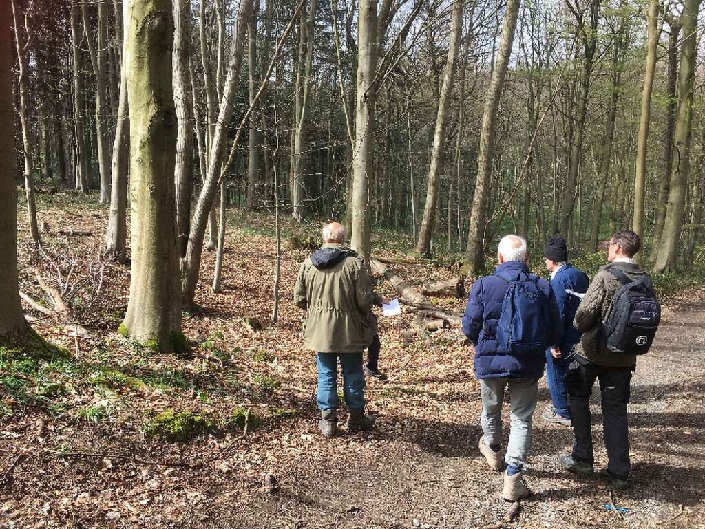
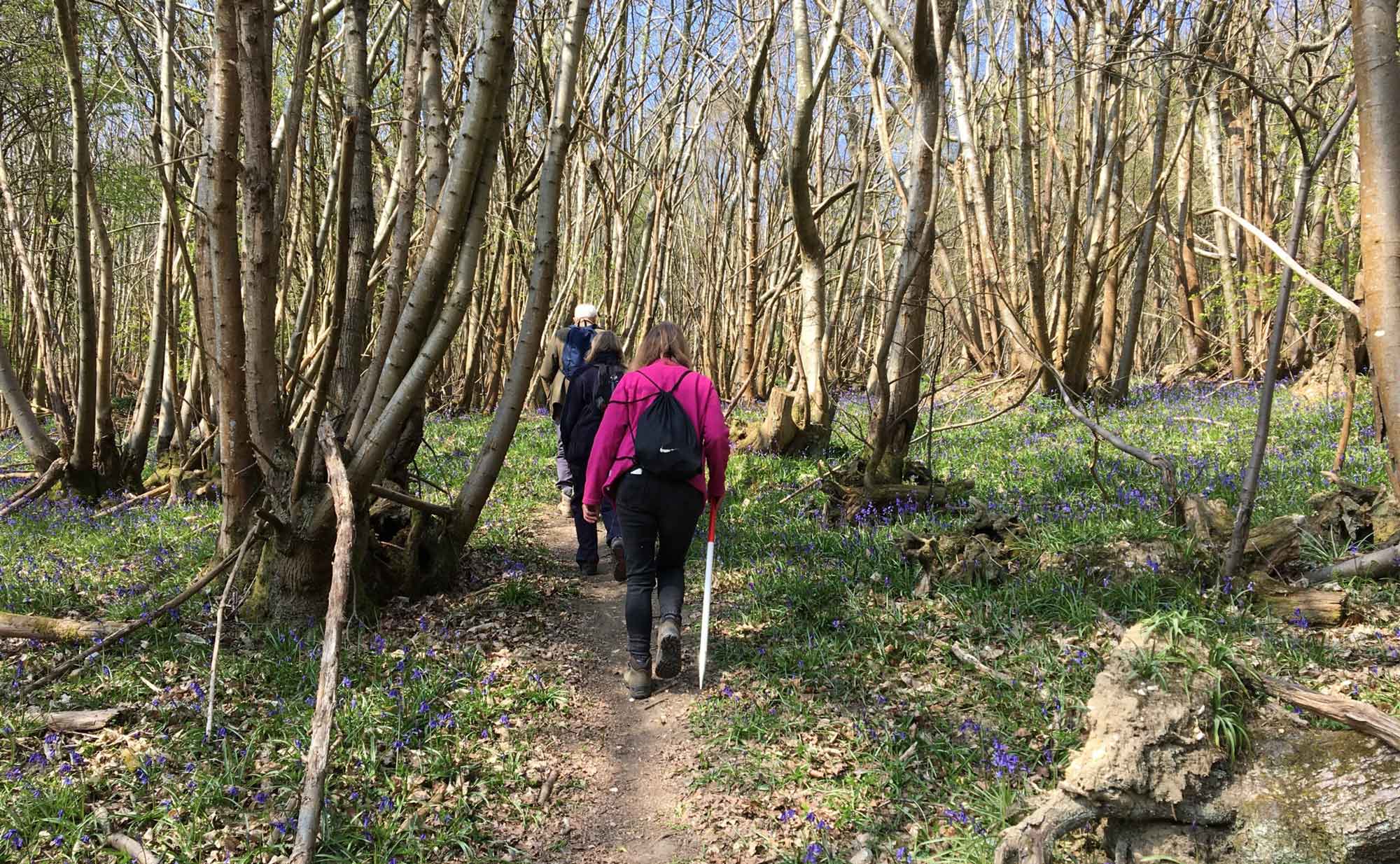
Field surveys
After initial identification is made on the Portal, volunteer-led landscape investigation teams may be formed and trained to go out into the field and ground-truth select features which are recorded online. These heritage features will then form an important dataset which will supplement the Historic Environment Record and enhance our knowledge of the landscape. Please contact our Community Archaeologist (anne.sassin@kentdowns.org.uk) to be involved in the fieldwork aspect of the project.
To be kept up-to-date on volunteering opportunities, including workshops and other events organised by the Darent Valley Team and joining our Landscape Investigator team, please consider signing up for the mailing list. E-newsletters will be sent out every couple months, and you can unsubscribe at anytime.