

The Kentish Landscape
The landscape of Kent is one which has evolved gradually and been shaped by a combination of influences such as the geology, natural environment and land use resulting from thousands of years of human settlement. Bordered by both the Thames Estuary and Strait of Dover, while dominated by the ridges and valleys which run east-west across the county, the Kentish countryside is diverse and contains a range of distinctive landscapes. From the country’s most extensive areas of ancient woodland at Blean Woods and the High Weald, to the remote wetlands of the Romney Marshes, there is no limit to the natural and cultural highlights which can be explored.
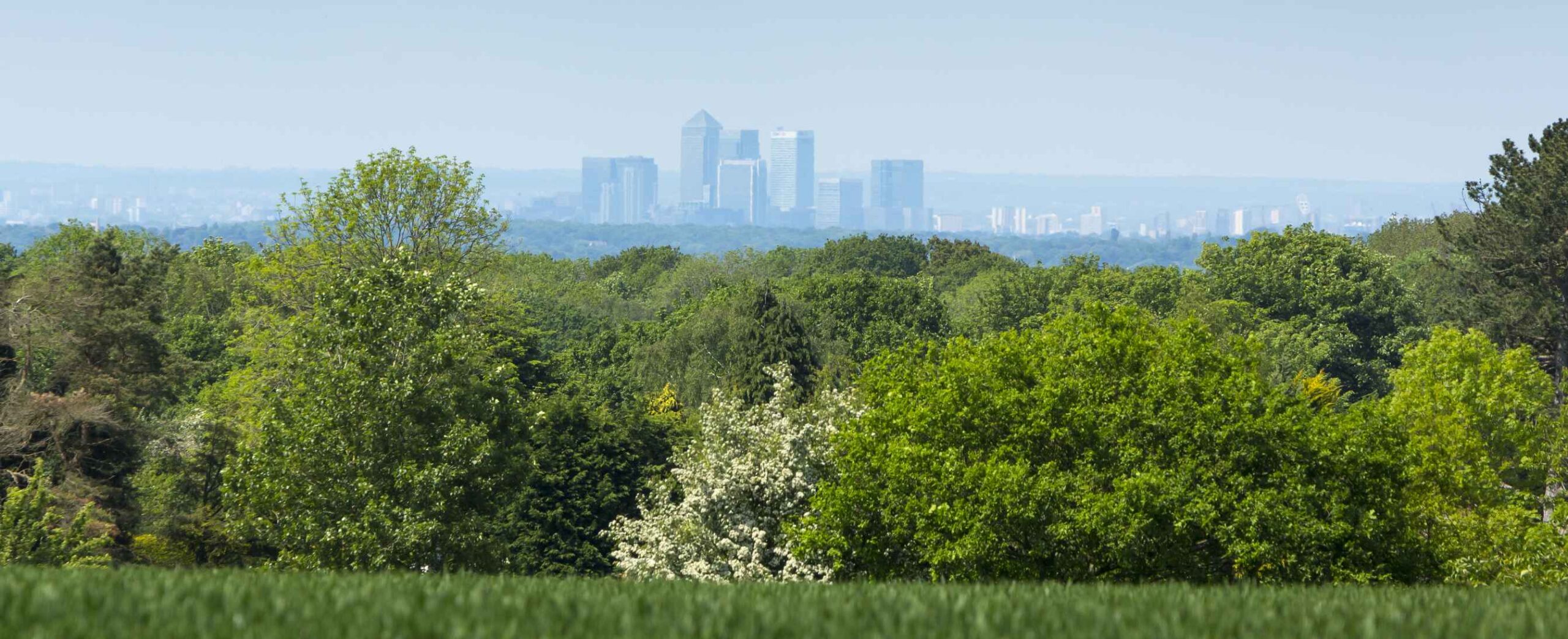
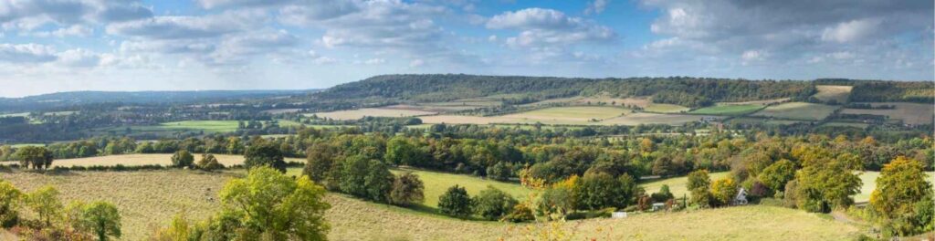
The Kent Downs AONB (Area of Outstanding Natural Beauty) is a particularly important protected landscape of 878 sq km which spans the length of the county from Greater London to Dover’s White Cliffs. The uniqueness of the AONB stems from its special characteristics which combine to form its distinctive landscape: a variety of biodiversity-rich habitats home to both plants and wildlife, its dramatic landform and striking views, a long-established mixed farming tradition, an extensive ancient woodland and system of chalk stream and rivers, vibrant communities set within tranquil and remote settings, and an outstanding historic and cultural heritage.
The Landscape Character Assessment of the Kent Downs was updated in 2020, and more about the individual character areas can be read here.
The Darent Valley
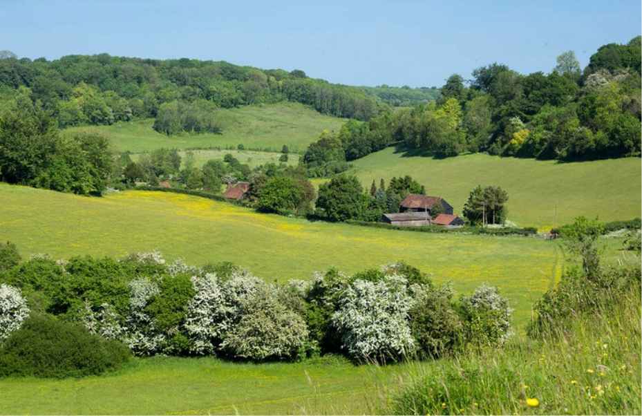
The Darent Valley, in the north-west of the county, is one of the Kent Downs’ most unique landscape areas with a particularly strong local identity which retains much of its rural character. In some cases, the valley presents a backdrop which has remained relatively untouched for over two centuries, despite its location on the outskirts of the ever-expanding London capital. While its landscape is defined by its chalk stream, which flows from its source on the Greensand Ridge to the open marshland of the Thames at Dartford, the fertile valley slopes along the river’s length is characterised by arable farmland and pasture on the floodplain, strong hedgerow patterns along the valley’s sides, and steep scarp top and greensand ridge which are often heavily wooded.
Although the Valley has long been home to landscape, biodiversity and heritage conservation activity, there was a perceived need for a more concentrated scheme which would focus efforts in enhancing its distinctive features and reconnecting people to its cultural and natural beauty. The Darent Valley Landscape Partnership Scheme (DVLPS), which is led by Kent Downs AONB and hosted by Kent County Council, is predominantly funded by the National Lottery Heritage Fund (NLHF) and the European Regional Develop Fund’s Interreg 2 Seas scheme. Formed in 2017, the DVLPS supports the AONB’s vision to conserve and enrich these special landscapes and engage people in caring for, enjoying and exploring them.