LiDAR Survey in the Darent Valley
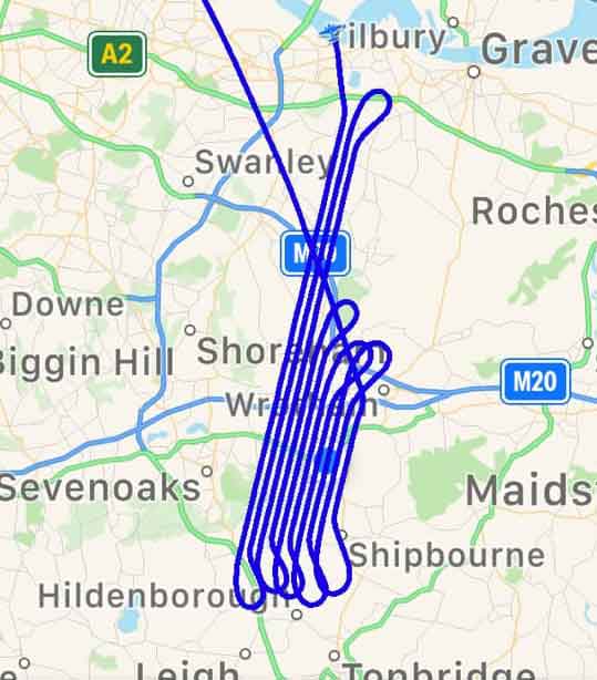
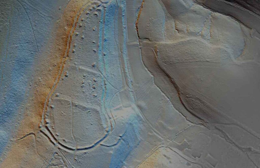
In order to better understand the development and various layers of history along the valley, the Darent Valley Landscape Partnership Scheme commissioned a LiDAR survey which would provide detailed data able to be interrogated by heritage professionals, amateur archaeologists and historians, and interested members of the public alike. Although this survey was funded predominantly by the Interreg 2 Seas ICARUS project, a further grant was received by Sevenoaks District Council to extend the coverage area to incorporate the Greensand Commons NLHF project.
The LiDAR survey for the Darent Valley was undertaken in January 2019 and resulted in a high resolution 0.25m model of the landscape. All data and imagery resulting from the survey are the copyright and property of Kent County Council (KCC), though can be used for non-commercial research purposes and within the KCC organisation and with its business partners with no restrictions on its use (but please see our terms of use).
Kent LiDAR Portal
The design of the Kent LiDAR Portal is based on and adapted from the original model built for the Beacons of the Past, another NLHF project. The Chilterns portal was envisaged and designed by Dr Ed Peveler and Dr Wendy Morrison of the Chilterns Conservation Board and built by Steve Smith of Go Studio, with initial testing conducted by project volunteers. The portal was launched in August 2019 and will be live for Citizen Science contributions and online viewing until December 2026 (so do venture onto the Chilterns site as well for a peek at more exciting LiDAR!)
The portal also owes considerably to Dr Rebecca Bennett of PTS Consultancy and Steve Smith for the visualisations and software programming, as well as the Historic Environment team at Kent County Council for shared use of maps and data. Further modifications and developments to the portal design were devised by Dr Anne Sassin and the Darent Valley Project Team.


Other LiDAR surveys in Kent
The freely available Environment Agency (EA) data is also available for much of the county, mostly at 1m resolution, though with some coverage of 50cm as well. This is available as a searchable open data map both at LiDAR Finder and one hosted by the Enfield Archaeological Society.
By the end of 2020, the Environment Agency will have achieved full coverage of the country, allowing for the remaining gaps to be filled. We hope to be able to see this data uploaded and available on the Kent LiDAR Portal in due course.
