


About Volunteering
Do you want to learn more about how to use LiDAR and seeing what hidden features and previously unknown archaeology can be discovered in the landscape? This Portal is designed as a means to not only view the LiDAR data, but to be a tool for mapping and interpreting it.
Phase one of the portal was completed in 2025, with plans for an expansion and new projects in 2026-7. Work is currently paused but if you are interested in finding out more please contact the team.
The story so far…
The first year of the portal the volunteers mapped an incredible 8916 relict field boundaries and 460 other features of interest from the lidar data.
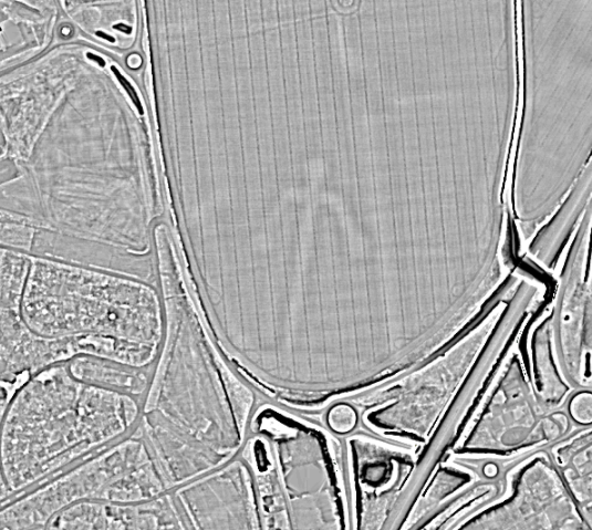
You can read about what occurred in the first year of the project, (including what on earth this human-like feature was!) in report from volunteer Simon below.
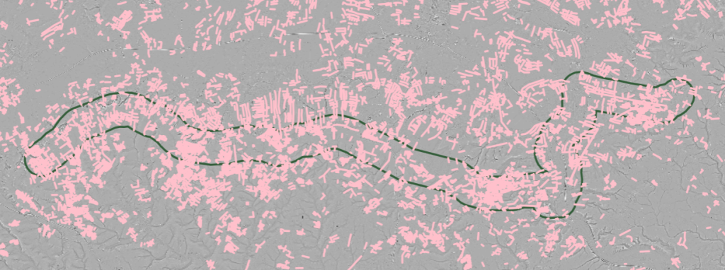
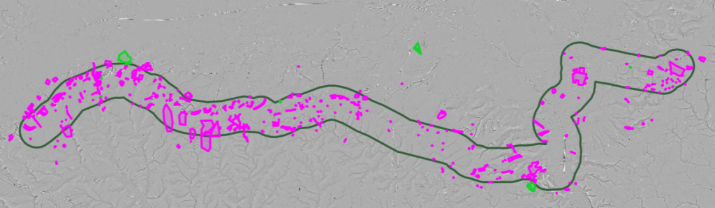
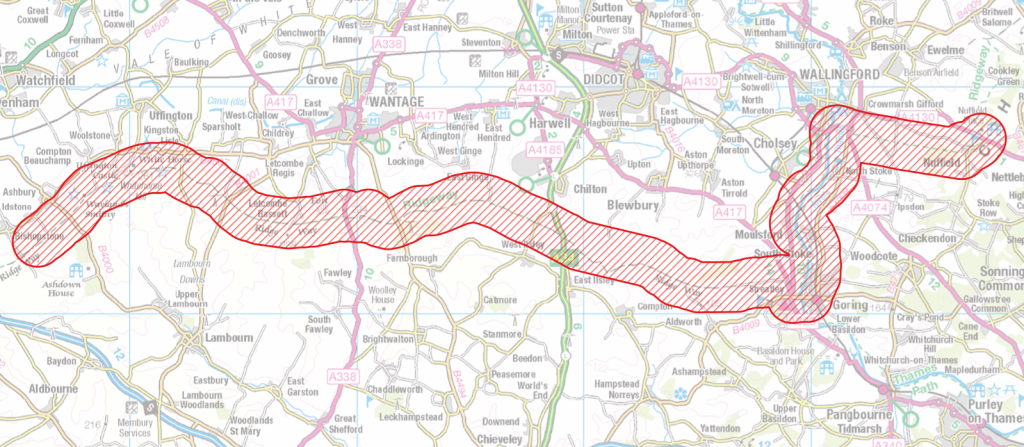
The Historic Ridgeway Project
The Historic Ridgeway Project is a three year project beginning in September 2023, to look at the condition of the archaeological monuments in the central section of the route in Oxfordshire and West Berkshire between the Wiltshire border to the west and Nuffield, near Wallingford, to the east. The project is working with key partners and stakeholders to improve the management of those sites by working with volunteers, and seeking grant funding for management works. The project is also looking to improve interpretation of sites along the route and take advantage of opportunities for education and learning. We, hope through our work, to improve inclusion and diversity in our volunteer tasks, well-being and educational activities along the Ridgeway, which probably represents one of the biggest areas of public open space in Oxfordshire
What is LiDAR data?
Light Detection and Ranging (LiDAR) is a method of collecting geographical point data by flying over the landscape and using laser to measure height and distance. The resulting 3-dimensional map is a precise representation of the shape of the landscape and its surface characteristics.
By exploring the 3D Lidar mapping, you can identify man-made structures, see the full breadth of vegetation cover, and understand the shape of the landscape as a whole. You can digitally remove surface data to reveal long-forgotten heritage sites. This helps us to better understand and conserve the historic landscape.
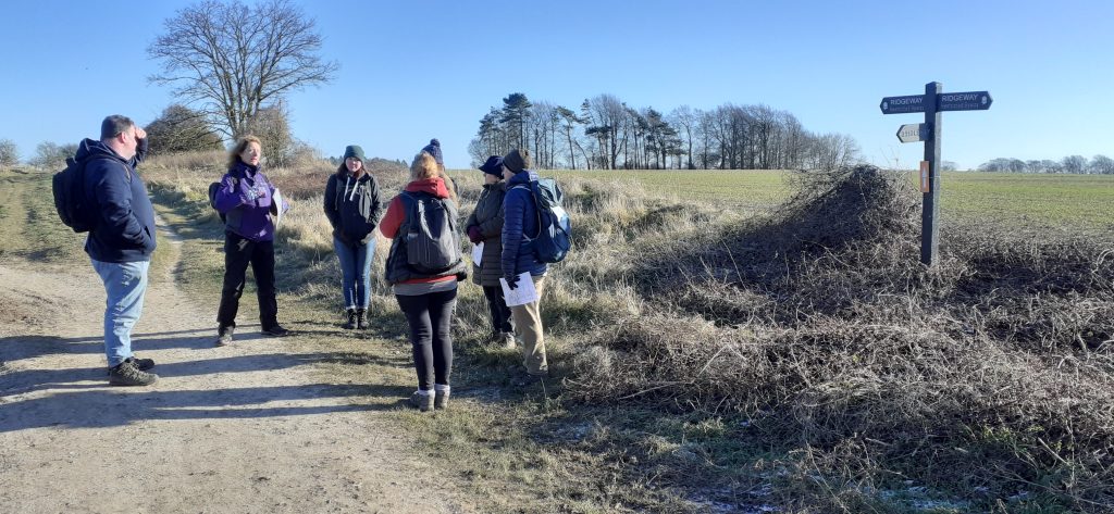
Get involved
Become a ‘citizen scientist’ and help to discover, understand, and preserve the natural and cultural heritage of the Ridgeway landscape, by exploring the LiDAR mapping and identifying new and exciting historical sites.