Get Involved

Do you want to learn more about how to use LiDAR and seeing what hidden features and previously unknown archaeology can be discovered in the landscape? The Ridgeway LiDAR Portal is designed as a means to not only view the LiDAR data, but to be a tool for mapping and interpreting it.

We have a pause on recruiting new volunteers to the project, please contact us to be added to the contact list for updates.

The process

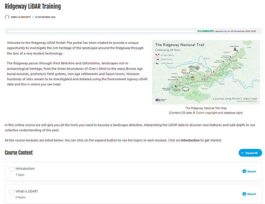
In order to use the Portal, you must first register for an account. Once you are logged-in, you can take the online training course for volunteers. When you have completed the training course you are ready to map features in the Ridgeway portal and will automatically get access to the Ridgeway Lidar map.

The Historic Ridgeway Project team will be hosting regular online catch up meetings for volunteers and we’d love you to join the community and talk about the features you have identified.

Our online training course for volunteers steps you through all you need to know!

Step 1

Register your interest via our contact form

Step 2

Complete the online training course

Step 3

Start mapping features in the portal

Step 4

Join the volunteer community in our online zoom sessions

Become a volunteer


Ridgeway LiDAR Portal Volunteering

New volunteers can register for free from January 2025. Want to learn more about how to use LiDAR and seeing what hidden features and previously unknown archaeology can be discovered in the landscape? This Portal is designed as a means to not only view the LiDAR data, but to be a tool for mapping and interpreting it.